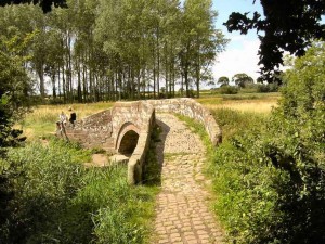
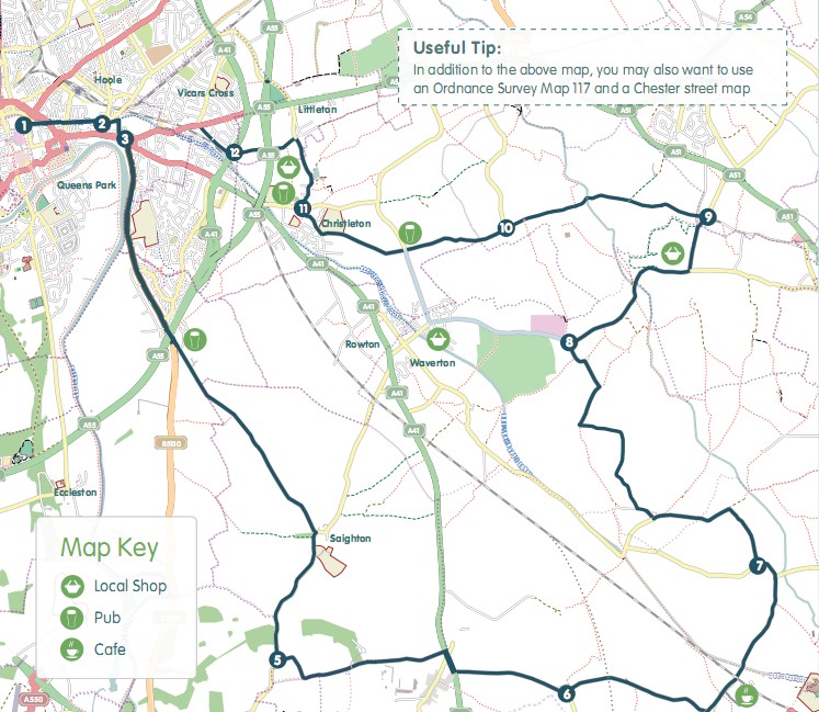
 The Hockenhull Hobble explores the countryside to the SE of Chester, including Christleton Pond, Bruera and Hargarave villages, and Hockenhull Platts. The route is 33 km (20 miles) long. There is a short off-road section over the interesting ‘Roman Bridges’, a series of pack horse bridges along a wooded path.
Chester Cycling Campaign’s seven Family Cycle Rides have been planned with all members of the family in mind. The routes use quiet lanes, established cycle routes and canal tow paths wherever possible, except for some occasional short sections on busier roads. All rides are between 15 and 20 miles in length, and are suitable for families with children, either riding their own bikes or riding on a trailer bike. Some rides include short off-road sections. The directions for these rides also include a description of a minor road alternative.
Route Grading: (B) Some Traffic – This is a route on quiet lanes where some light traffic is to be expected.
This route is available as either a GPX file or as a downloadable colourful PDF map. Choose your option from those below.
GPX File
Click the link below to download the GPX file for this route.
The Hockenhull Hobble – GPX File
PDF Map
Click on the link below to open a PDF leaflet of the ride containing a colour map of the route which you can view or print.
The Hockenhull Hobble – PDF Map

